World Wildfire Risk Maps by country are ready for use!!!
' World Wildfire Risk Maps by country are ready for use!!!
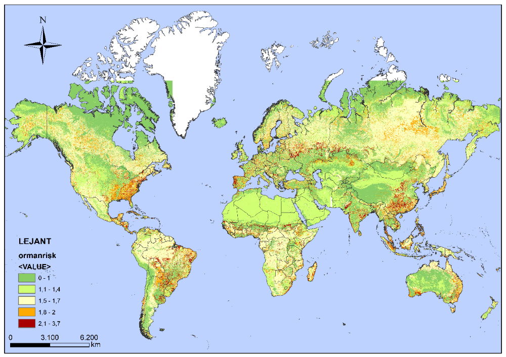
Şekil 1: World Wildfire Risk Map
Adonis has created the World Voluntary Fire Risk Analysis (WVFRAM) model with a new software to protect billions of people and natural creatures against fires. It has determined the most vulnerable areas to fire on a macro scale on a global basis and on a km2 scale for each country, and has proposed alternative land vehicle waiting points to defend these risky areas more effectively before fires.
It has raised awareness and early warning by showing people the local fixed risks in the areas where they live. Technical support was also provided to fire early warning systems that prioritise meteorological data by showing geographically fixed risk areas.
According to these maps, experts will be able to develop collective defence strategies against fires by dividing the tasks of new additional defence points, airports and port fire trucks, volunteer rescue teams and military units on an area basis as a whole. In addition, new defence and deployment plans can be made for aerial firefighting vehicles (helicopters, air tankers and aircrafts) in the areas where the new identified land fire fighting points cannot be reached by land.
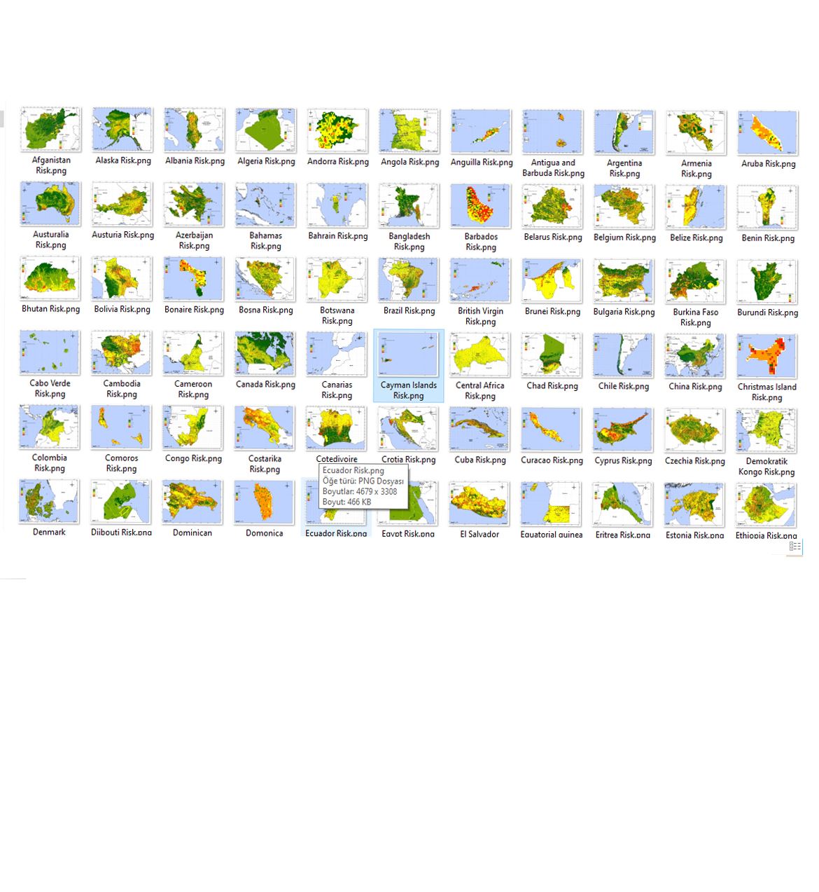
Click to access Country Fire Risk Maps
https://www.forestfireprevention.net/world-voluntary-fire-risk-analysis-model-wvfram https://www.forestfireprevention.net/gallery
Click to access ‘ Handbook of Active Defence Strategies in Rural Area Fires For Local Administrations, Military Troops and Non-Governmental Organizations’
BUCAK C., ‘ Handbook of Active Defence Strategies in Rural Area Fires For Local Administrations, Military Troops and Non-Governmental Organizations ’ Izmir-Turkey 2022 https://www.forestfireprevention.net/uploads/pdfcatalog/handbook-of-active-defense-strategies.pdf


