WORLD VOLUNTARY FIRE RISK ANALYSIS MODEL (WVFRAM)
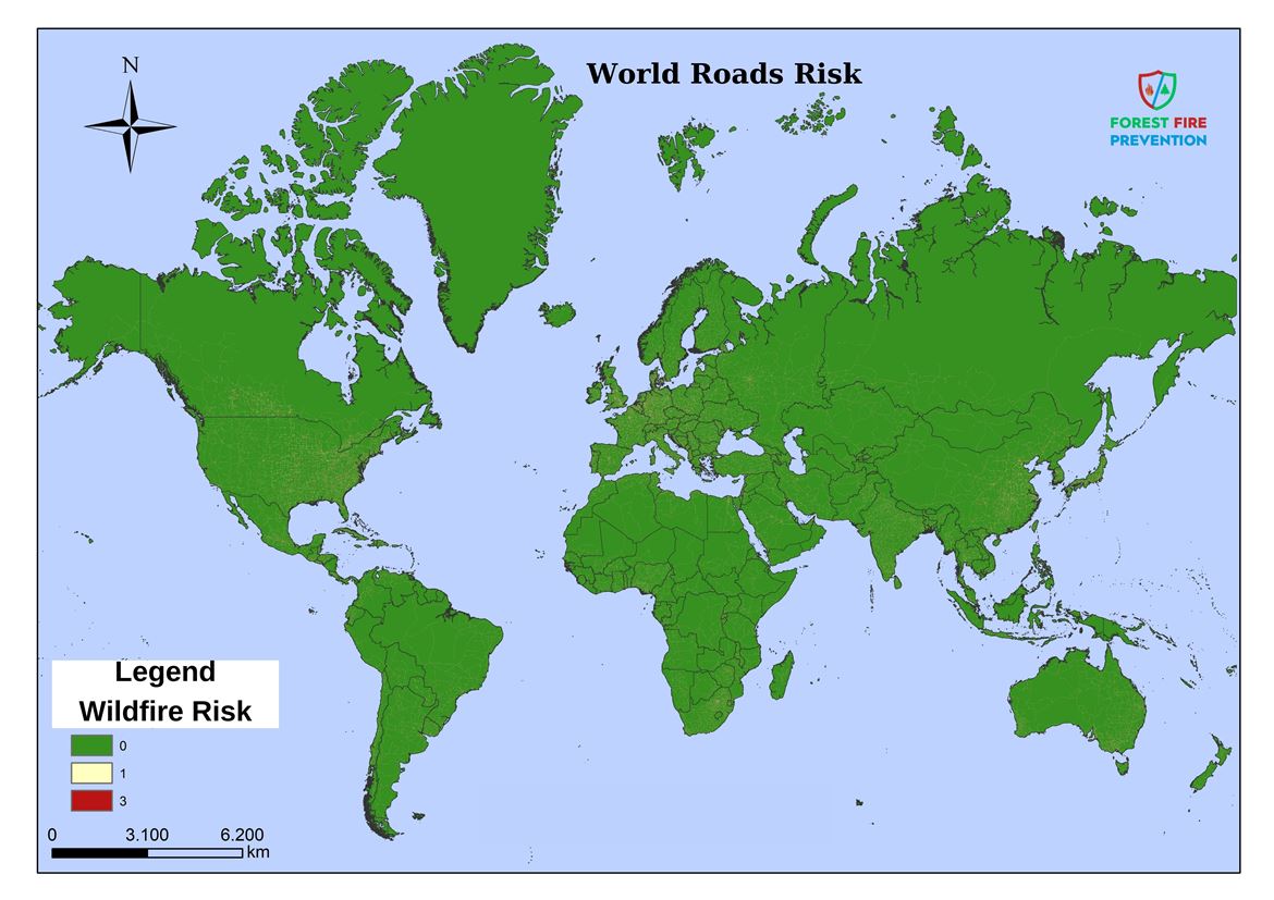
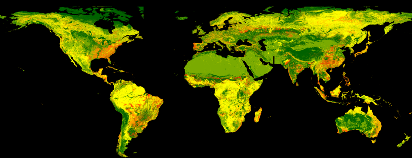
Şekil 1: World Wildfire Risk Map
This study, which was prepared in order to more effectively protect the people and nature living in these regions and forest fires that may increase due to global climate change and drought, will be able to prevent new economic losses in threatened countries and raise awareness of resources. It also supports the functions of coordination centres for forest fire prevention and defence at regional and national level.
The primary objective of the model is to create new economic resources for humanity and nature by minimising the costs of rural firefighting, which cause millions of dollars in economic losses and large compensation, in the shortest time possible.
Unlike existing fire behaviour models, it focuses on the causes and starting points of fire outbreaks and aims to show the fixed risks in potential risk areas with similar characteristics. It acts according to the principle of preventing fires before they grow by identifying physically existing fixed risks in advance and identifying early intervention points. By presenting new strategies, it focuses on pre-fire preparations and points to important regions in terms of agricultural production.
In these maps created with geographical information systems, it is tried to suggest the optimum deployment locations of land and air defence teams before the fire season.
The model will be able to contribute positively to the world economy by minimising the loss of life and property in future fires.
Criteria Evaluated in the World Voluntary Fire Risk Model
Within the framework of the basic principles of ‘Active Defence Strategies in Rural Area Fires for Local Authorities, Military Units and Non-Governmental Organisations’; these criteria were determined by analysing the existing physical fixed fire risks in the lands sensitive to rural area fires throughout the world together with global climate changes - so that necessary measures can be taken before the fires break out.
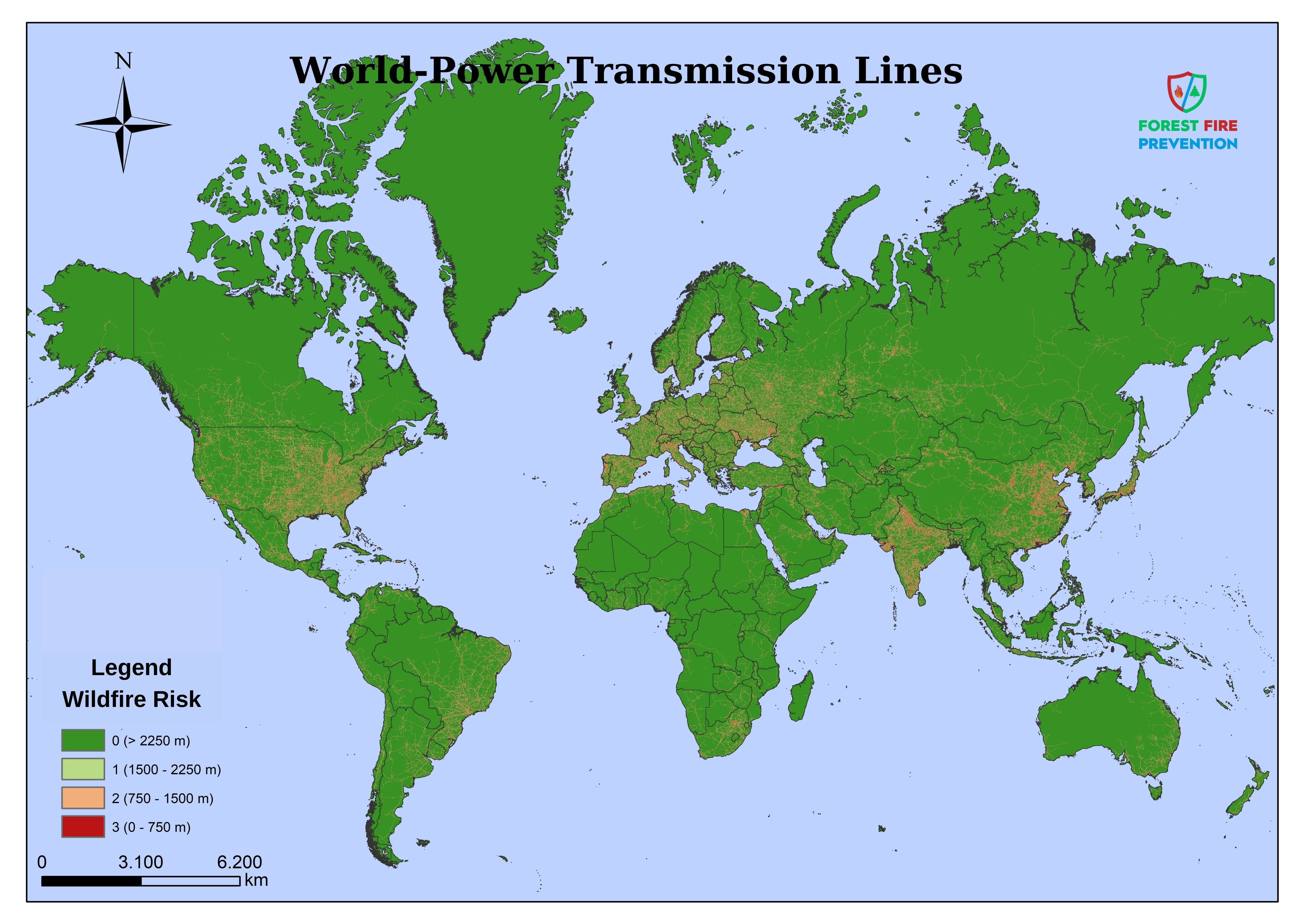
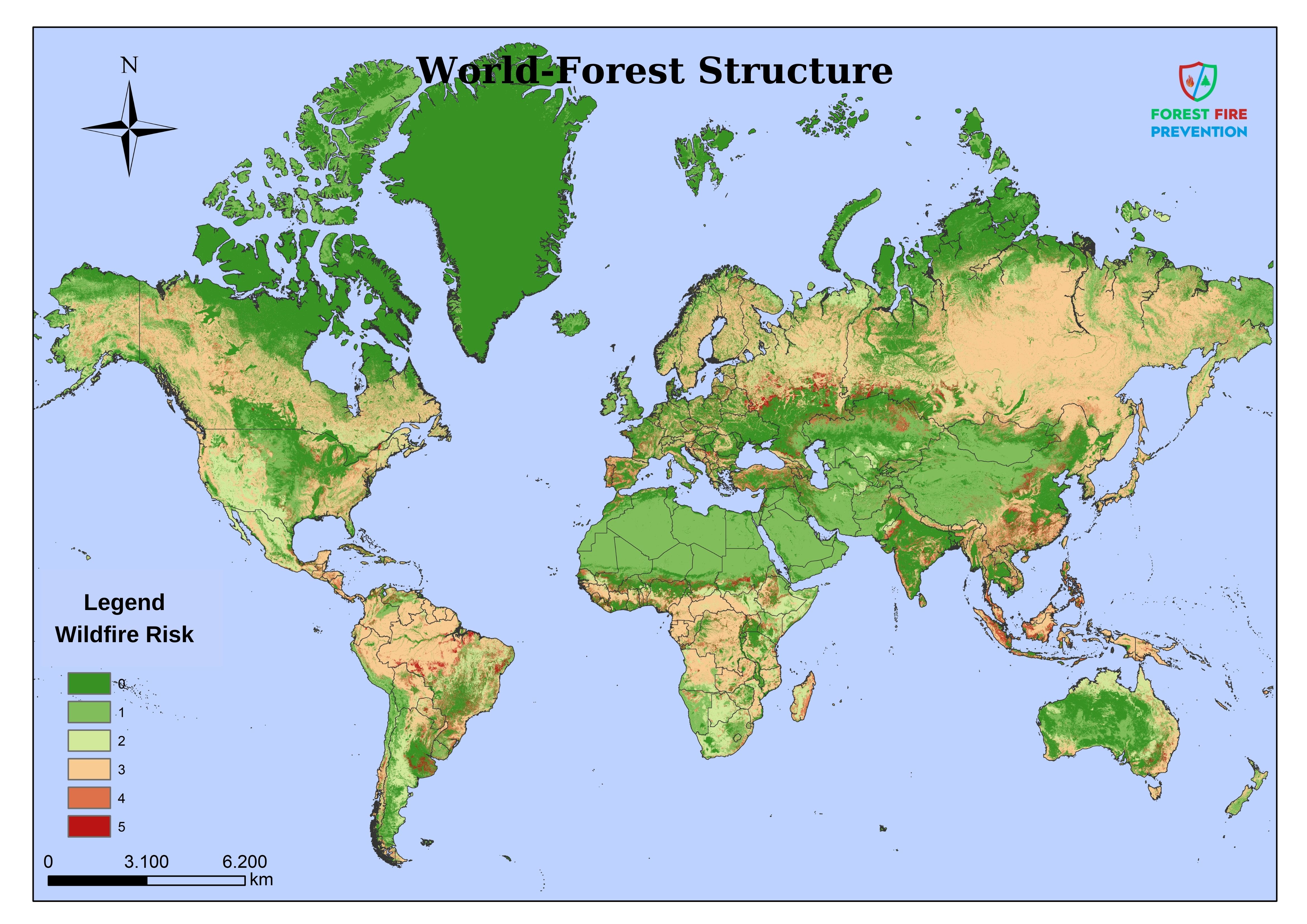
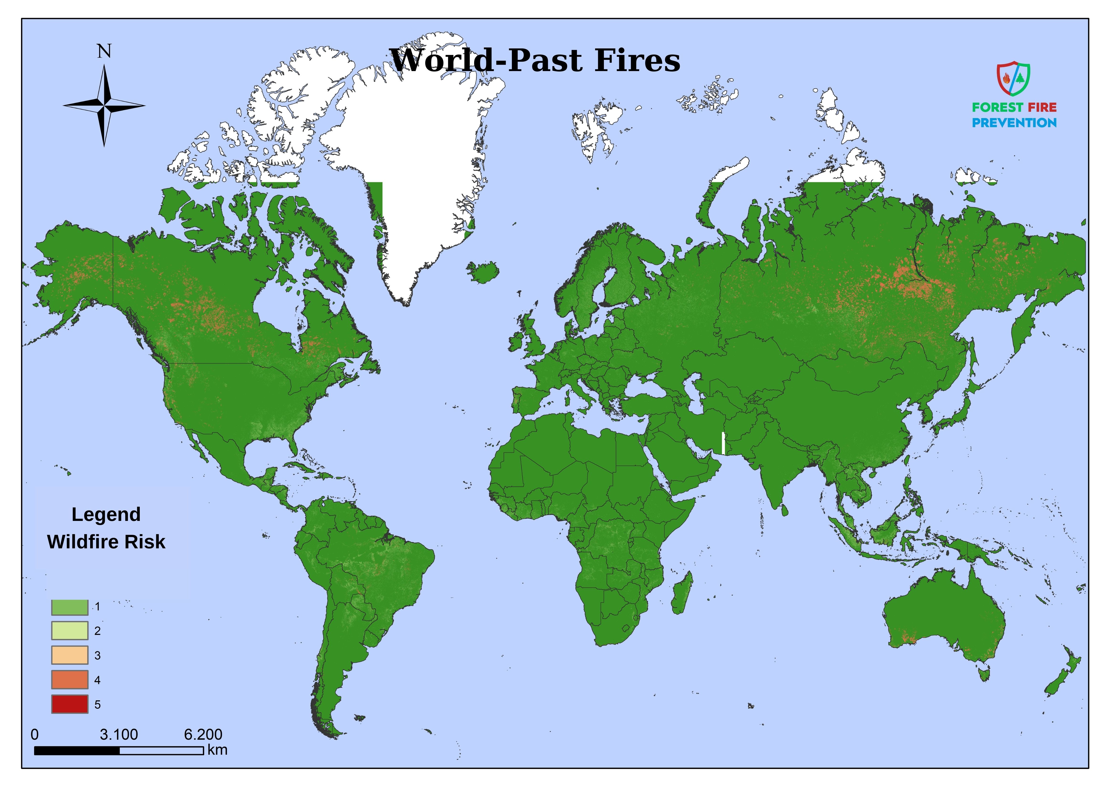
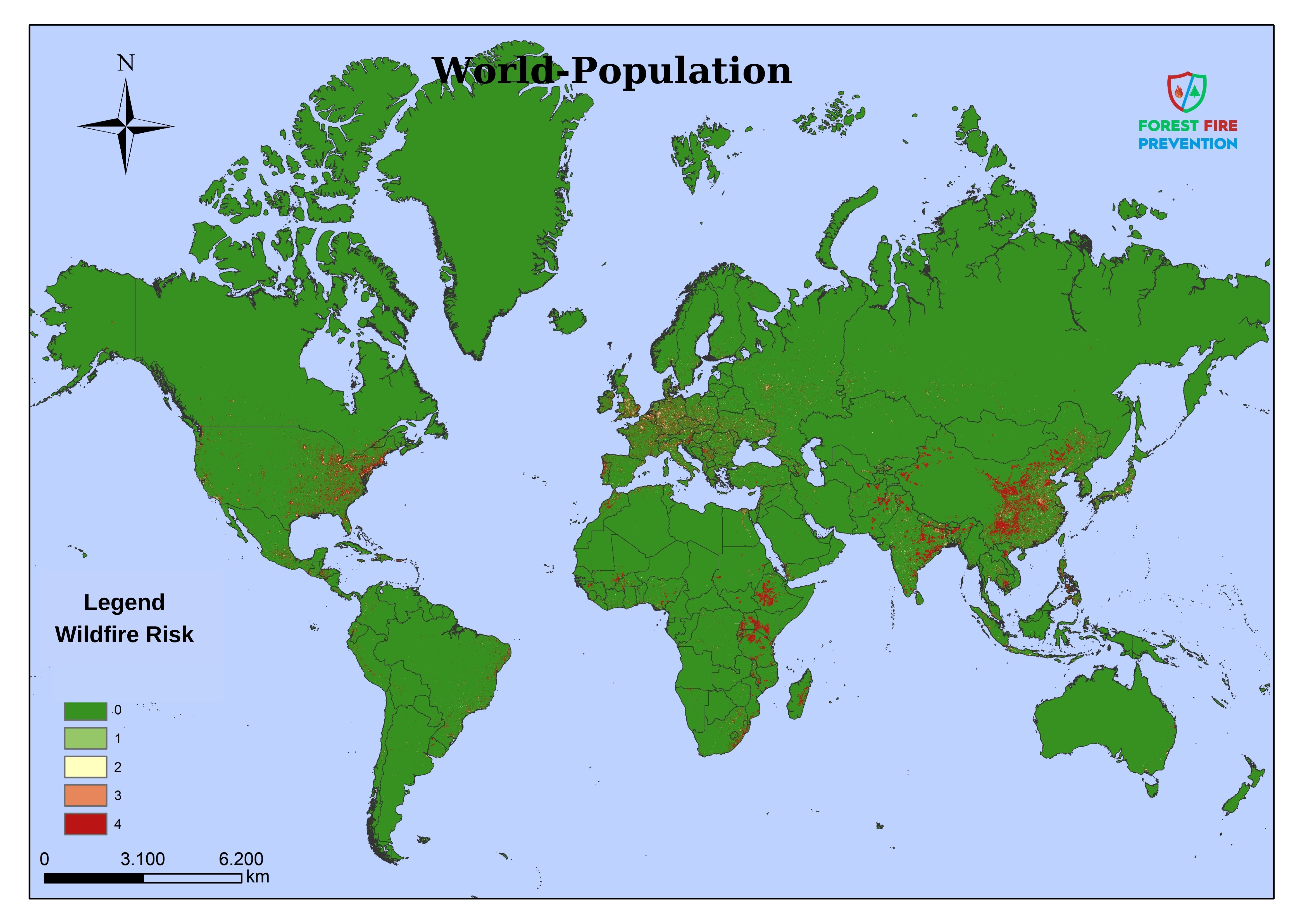
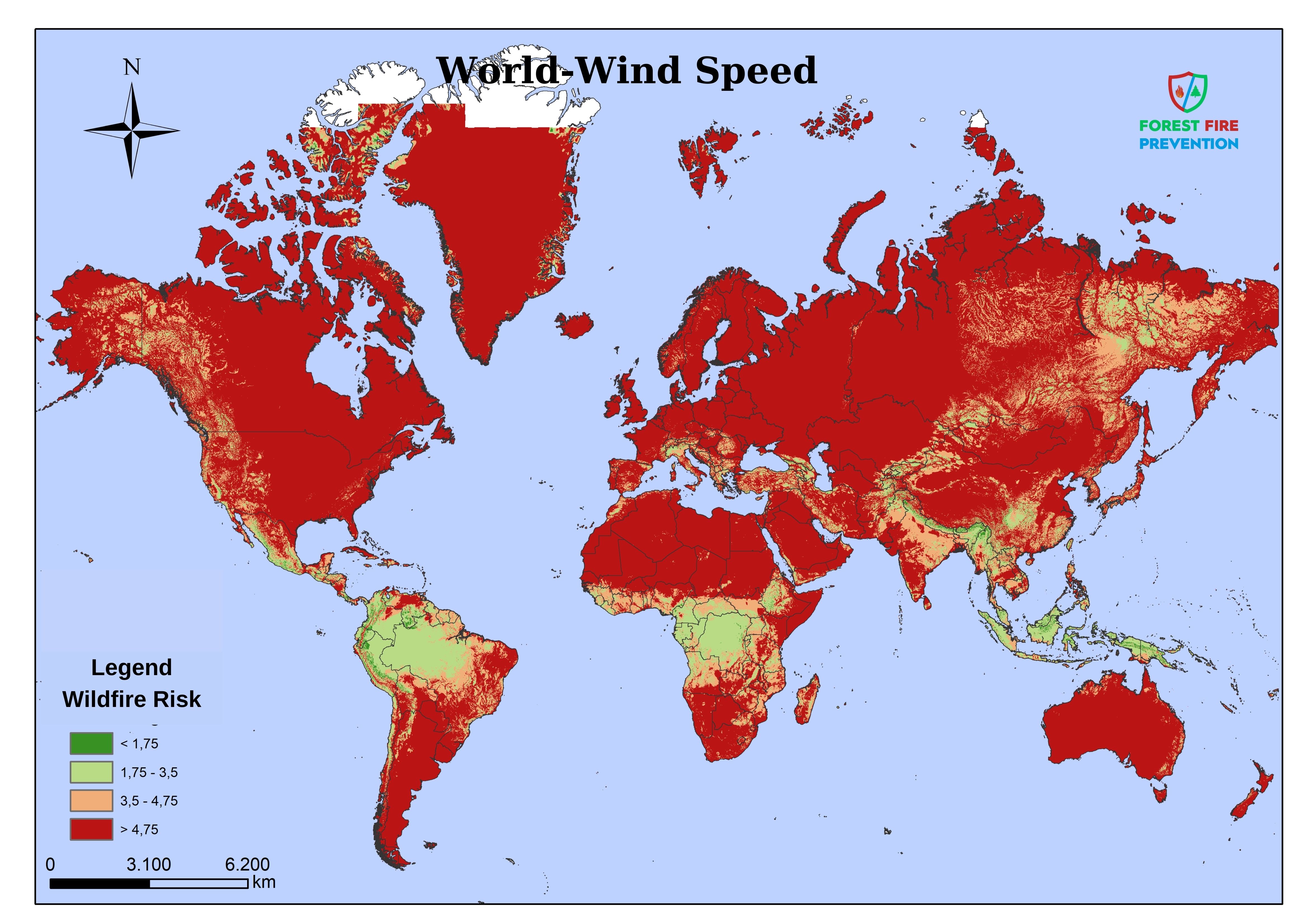
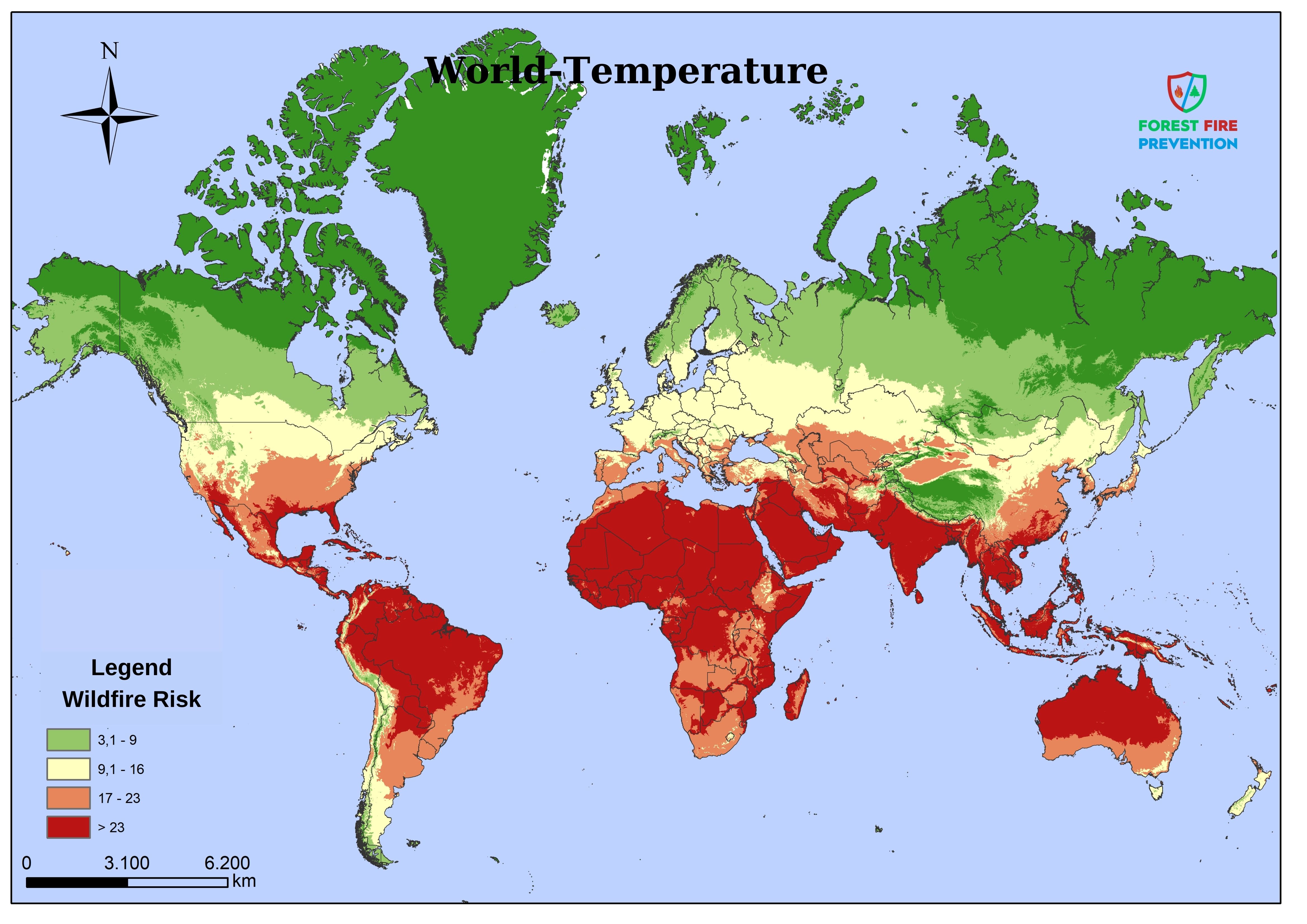
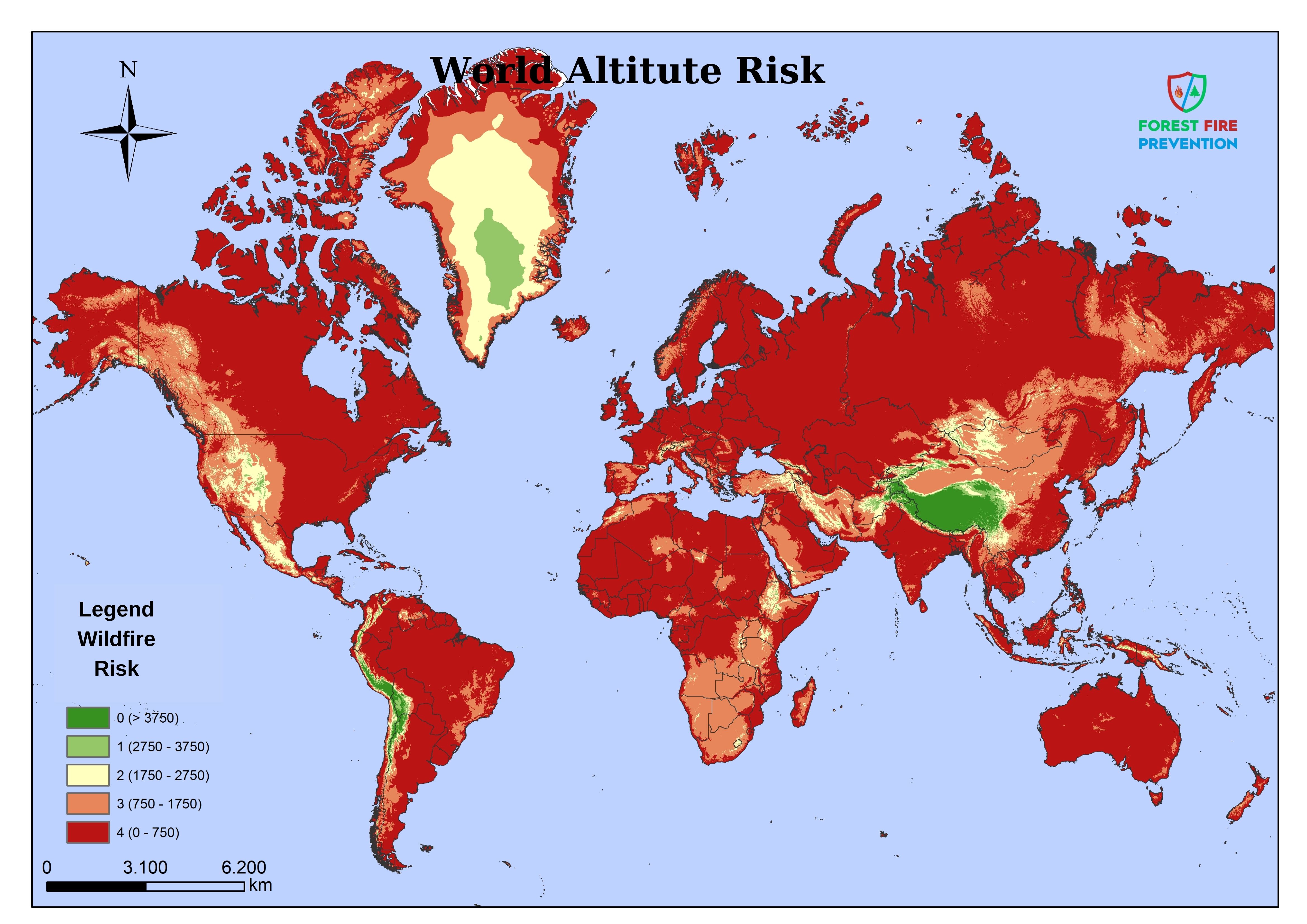
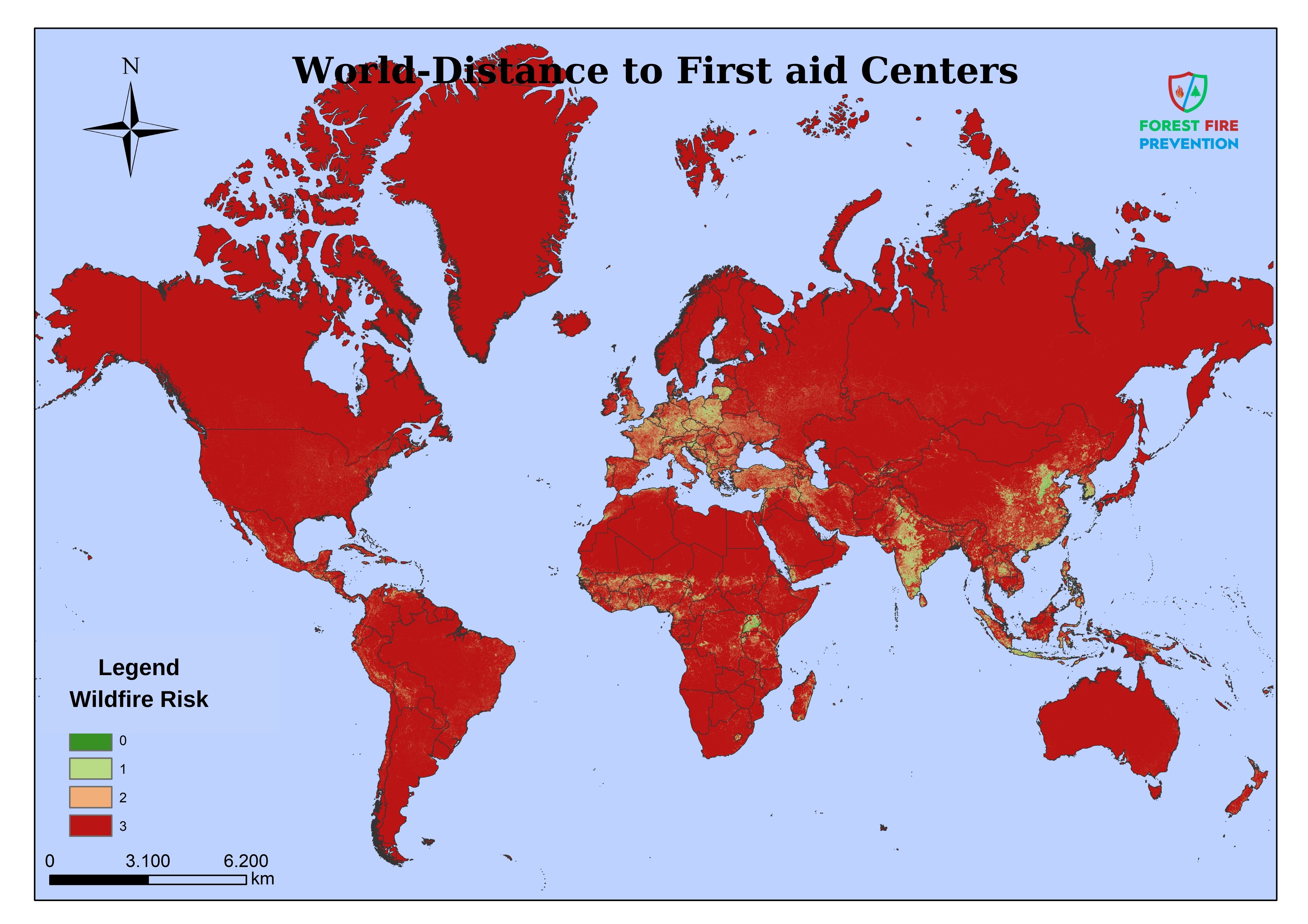
AHM (Analytic Hierarchy Method) was used to determine factor weights. The main risk factors and response effectiveness constraints in the regions where forest fires have occurred were evaluated together and all factors were scored as a result of pairwise comparisons. The model was combined with world data obtained from publicly available sources (3) by grouping a total of 9 different criteria in different degrees and was able to analyse the area in pixel dimensions of 1km*1km :1 Km2.
|
|
Criteria Name |
Weight (%) |
|
1 |
Proximity to Power Transmission Lines and Roads |
19 |
|
2 |
Agriculture + Forest + Settlement Intersections |
17 |
|
3 |
Past Fire Criminalistics |
9 |
|
4 |
Influential Population Living in the Region |
12 |
|
5 |
Wind Intensity |
12 |
|
6 |
Annual Average Temperature |
7 |
|
7 |
Vegetation Type (Forest+Maquisland) |
10 |
|
8 |
Land Elevation (Altitude) |
4 |
|
9 |
Operational Distance (Settlement Centres+Fire Brigade+First Response Team) |
10 |
Conclusion
The model has brought to the attention of the fire departments not only the forested areas but also the wildlife habitat wetlands, national parks and most importantly the large agricultural areas where agricultural production is carried out for food, and has given these areas at least as much importance and risk as the forested areas.
The outputs of the model can be used primarily by the countries most damaged by fires such as the United States of America, Canada, Russia, Australia, Spain, France, Italy, Greece, Malaysia, Indonesia, South Africa, Brazil, Chile, Argentina, Bolivia.
From 2025 onwards, under the coordination and leadership of the United Nations Office for Disaster Risk Reduction, new projects and policies will be developed to protect people and the environment living in risky areas under fire hazard in the relevant countries. In addition, the Fire Ecology Research Group(2) at the Global Fire Monitoring Centre in Germany and the Regional Central Asian Fire Management Centres in Mongolia will be able to prepare new joint cooperation projects in the light of this information.
1- Disaster Risk Reduction and Head of UNDRR Palaisdes United Nations, CH1211 Geneva 10, Switzerland (United Nations Disaster Risk Reduction Authority)
2- The Global Fire Monitoring Centre (GFMC) Fire Ecology Research Group located in Freiburg, Germany, (Global Fire Monitoring Centre)
3- Regional Central Asia Fire Management Resource Centre (RCAFMRC) islocated in Ulaanbaatar, Mongolia (Central Asia Fire Management Centre
I am grateful to my faculty professors and technical team mates;
Doğan Kantarcı, Tuncay Neyişçi, Mehmet Emin Akkaş, Gökhan Gündüzoğlu, Yılmaz Aşkın, Murat Tutam, Ali İhsan Durmaz, Fırat Dikmen, Turgut Kurban and of course Ahmet Kargın, who laid the foundations for the creation of the Volunteer World Fire Risk Model and made great contributions to bring it to the present day.
Prepared by :
Forest engineer Cemhan BUCAK and Geographer Ahmet KARGIN
PUBLICATIONS
(1) BUCAK C., ‘ Handbook of Active Defence Strategies in Rural Area Fires For Local Administrations, Military Troops and Non-Governmental Organizations ’ Izmir-Turkey 2022 https://www.forestfireprevention.net/uploads/pdfcatalog/handbook-of-active-defense-strategies.
(2) AKKAŞ E., BUCAK C., BOZA Z., ERONAT H., BEKERECİ A., ERKAN A., CEBECİ C., ‘Investigation of Large Forest Fires in the Light of Meteorological Data’ Ege Forestry Research Directorate Technical Bulletin No: 36 ISSN 1300-9508 Ministry Publication No: 333 Directorate Publication No: 48 2008
(3) https://www.google.com/intl/tr/earth/, https://www.globalforestwatch.org/map
https://www.openstreetmap.org/, https://jeodpp.jrc.ec.europa.eu/ftp/jrc-opendata/GHSL/GHS_POP_GPW4_GLOBE_R2015A/GHS_POP_GPW41975_GLOBE_R2015A_54009_250/V1-0/
https://globalwindatlas.info/area
